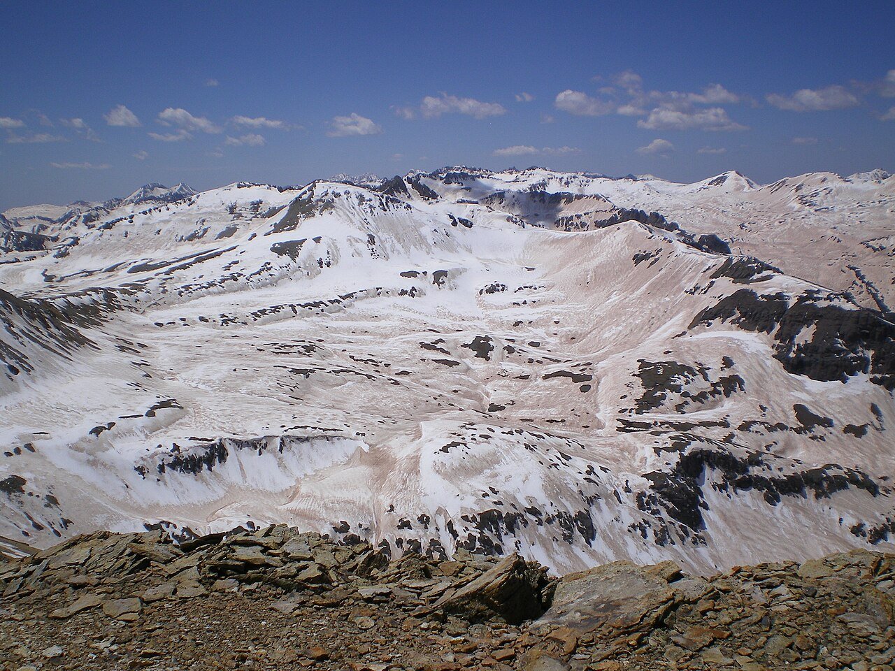
DENVER — From heavy snowfall in the Colorado Rockies to flooding concerns across the southeastern United States, the country faced a varied weather picture on Wednesday, November 4, as the transition toward winter became increasingly apparent.
One of the most significant winter weather concerns was developing across the central Colorado Rockies. According to NOAA's Weather Prediction Center, a low-pressure system moving eastward from the Great Basin is drawing unusually high atmospheric moisture into the central Rockies. Combined with favorable upper-level winds and upslope airflow, this is expected to produce substantial snowfall at higher elevations.
Snowfall rates exceeding 1 inch per hour were expected in some mountain areas, with localized rates potentially exceeding 2 inches per hour. There was a 50 to 70 percent probability of snowfall exceeding 8 inches in some mountain ranges above 10,000 feet. The heaviest snowfall was expected Wednesday evening into early Thursday, with conditions improving before sunrise Thursday.
A slow-moving cold front was also producing an unsettled weather pattern across portions of the eastern United States. NOAA identified a Marginal Risk, Level 1 of 4, of excessive rainfall across parts of the Ohio and Tennessee Valleys and the southern Appalachian region, with heavy showers and isolated flash flooding possible.
The first week of November began with unseasonable warmth across much of the country, particularly in the middle of the nation, before the cold front brought heavy rain, flash flooding and severe thunderstorms, while snow targeted the Rockies. Almost 48 million people across parts of at least 17 states faced a marginal to slight risk of excessive rainfall capable of causing flash flooding earlier in the week, according to the Weather Prediction Center.
Forecasters said heavy snow should wind down across the Colorado mountains by Thursday, November 5, and NOAA's Day 2 outlook indicated less than a 5 percent probability of rainfall exceeding flash-flood guidance in its forecast area. A system expected to come ashore along the West Coast late in the week should bring wintry weather at high elevations of the Pacific Northwest and Intermountain West on Thursday and Friday.