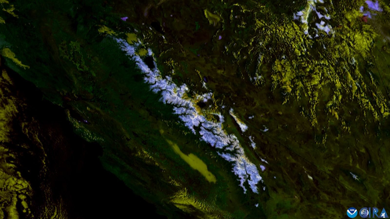
A powerful winter storm continues to impact parts of California and Nevada near the Sierra Nevada mountains, with the National Weather Service keeping a Winter Storm Warning in effect as heavy snowfall and strong winds create dangerous travel conditions. Forecasters have warned residents and travellers to remain cautious, as significant snow accumulations and hazardous road conditions are expected through early next week.
Forecasters are predicting up to 20 inches of additional snowfall in parts of the Sierra Nevada before the warning expires on Tuesday morning. The heavy snow is expected to create slippery and hazardous road conditions, particularly during the Monday morning and evening commutes. Officials have advised motorists to delay travel whenever possible.
The Winter Storm Warning remains active for several communities in the Sierra region, including Wawona, Shaver Lake, Grant Grove, Tuolumne Meadows, Lodgepole, Huntington Lake, Giant Forest, Florence Lake, Lake Wishon, Cedar Grove, Hume Lake, Lake Thomas Edison and Devils Postpile. According to the National Weather Service’s Hanford office, the storm continues to pose a major threat due to ongoing snowfall and strong winds across mountainous areas.
In addition to heavy snowfall, wind gusts could reach up to 80 mph in some locations. National Weather Service meteorologist Chris Johnston warned that travel could become impossible in areas where snow-covered roads have not been cleared. While a brief lull between storm systems may offer temporary relief, officials continue to urge travellers to monitor road and weather updates before heading into the mountains.
The storm has already disrupted transportation in the region. The California Highway Patrol’s Truckee division temporarily halted traffic in both directions on Interstate 80 after multiple vehicle spinouts and dangerous driving conditions were reported. Authorities reminded drivers to carry tyre chains, reduce speed and prepare for rapidly changing mountain weather.
The storm is part of a series of powerful Pacific systems affecting the U.S. West Coast, bringing successive rounds of rain, snow and strong winds to California, Oregon and Washington. Heavy rain and high-elevation snow hit parts of Washington, Oregon and Northern California on Sunday morning, and were expected to spread from the Bay Area to western Montana by the evening. The rain and mountain snow were forecast to shift to the Intermountain West by Monday, with the southern Sierra Nevada possibly seeing one to two feet of snow by the end of the day, and another storm approaching the West Coast on Tuesday.
The same Pacific system sent waves of up to 50 feet toward the California coast this weekend. Weather officials emphasise that the combination of heavy snow, strong winds and poor visibility could make conditions extremely dangerous, and residents and visitors are encouraged to avoid unnecessary travel, stay updated on forecasts and follow local emergency guidance until the storm system moves out of the region.