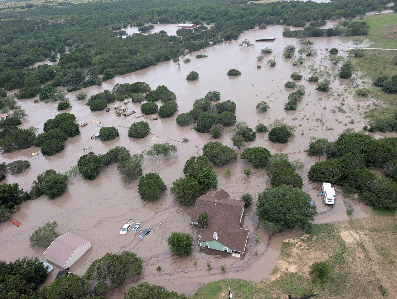
Parts of Central and South Texas are in the crosshairs of a dangerous flood threat this weekend, as areas from Austin south to Brownsville prepare for rounds of heavy rain beginning Saturday afternoon, with the greatest flood threat expected Sunday.
The threat is the latest example of an El Niño storm pattern setting up across the southern part of the country. During El Niño fall and winter, the Pacific jet stream tends to become more extended and active, acting as a conveyor belt that directs storms farther across the southern tier of the United States — and this weekend the jet stream is positioned directly over South Texas, ushering in warm Pacific moisture that will combine with moisture surging in from the Gulf.
A slow-moving storm system will tap into that humidity, producing rounds of heavy rain through the weekend. Because there is very little atmospheric instability, rainfall rates should remain low, the FOX Forecast Center said, resulting in a steady, soaking rain rather than sudden, torrential downpours. The pattern has already begun to play out, with storms causing widespread flooding across parts of the Southwest over the last two weekends.
A Level 1 out of 4 flash flood risk covers parts of West Texas, Texas Hill Country and a corridor from Laredo to Brownsville on Saturday. The risk increases and shifts south on Sunday, with a broad Level 2 threat covering parts of Hill Country and South Texas, including San Antonio. The most persistent and heaviest rain is expected Sunday afternoon through Sunday night.
Widespread rainfall totals of up to 2 inches, with localized amounts of up to 4 inches, are expected from Hill Country to the Gulf Coast through Tuesday as rain lingers into early next week. Texas Hill Country, in particular, has been vulnerable to flooding, including the July 4, 2025, floods that killed 135 people when the Guadalupe River rose to record-breaking heights.