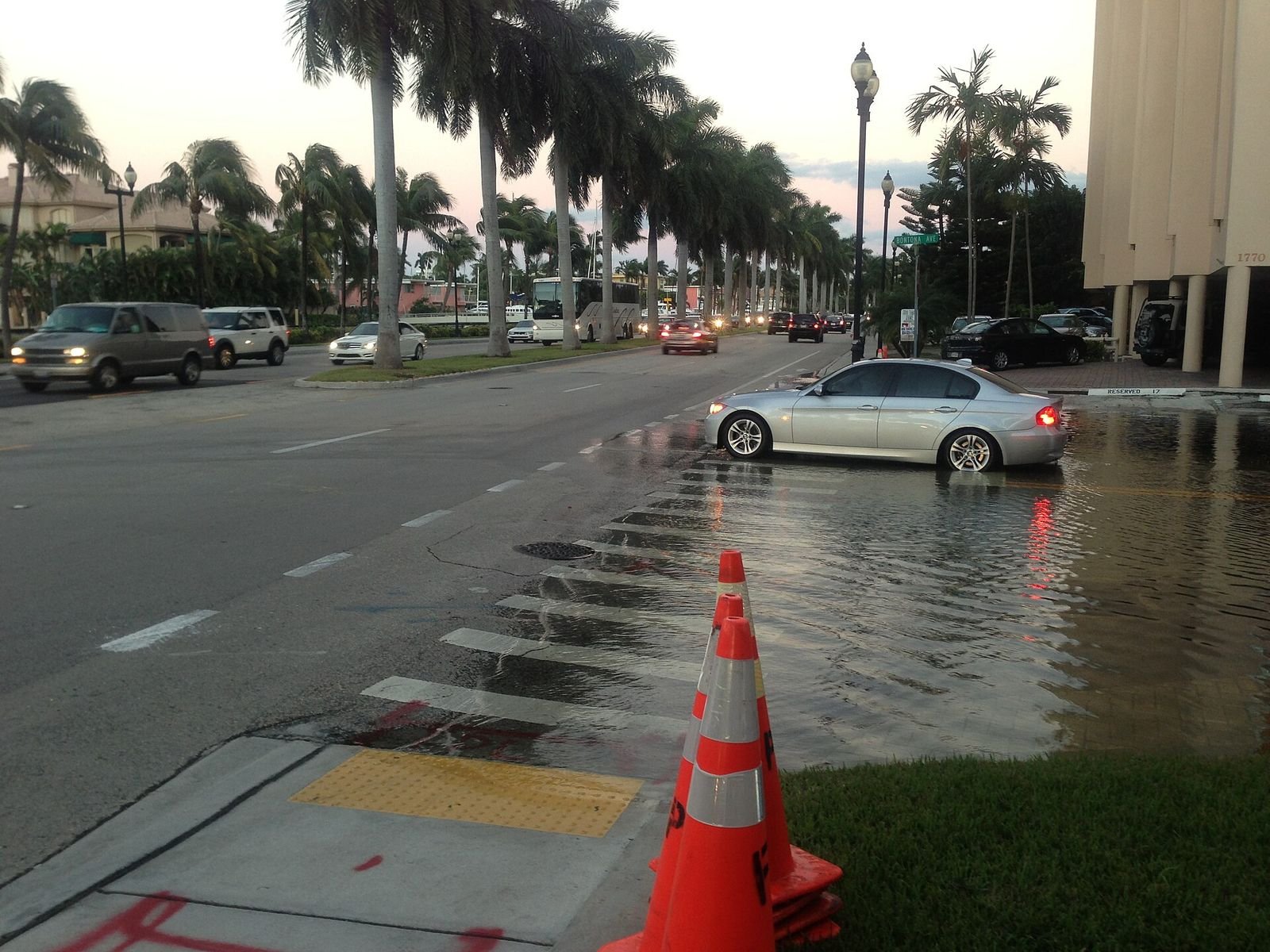
South Florida was hit by torrential rain on Tuesday and Wednesday, with up to 15 inches falling in parts of Broward County, flooding roads, closing schools and prompting a state of emergency. The National Weather Service in Miami measured 15.3 inches of rain near Plantation and 13.7 inches near North Perry Airport in 24 hours, with official overnight totals of 12.16 inches near Plantation and 10.38 inches near Hollywood. At one point the rain was falling at nearly 5 inches an hour, and 3.77 inches fell over Hollywood in a single hour on Tuesday night.
Broward County declared a state of emergency effective November 18, closing all government operations including schools. The flooded roads included the I-95 northbound off-ramp to U.S. 441, which was closed all day, along with stretches of I-595, Hollywood Boulevard, Sheridan Street and Stirling Road. Fort Lauderdale-Hollywood International and Miami International airports both had brief ground stops, and by Wednesday afternoon 316 flights had been delayed at Miami and 125 at Fort Lauderdale.
The Florida Division of Emergency Management warned of "a considerable to potentially catastrophic rainfall event" along the Florida East Coast through Saturday, November 21. A slow-moving cluster of thunderstorms known as a mesoscale convective low added to the deluge, with rainfall rates of 1 to 2 inches per hour spreading toward Miami, Fort Lauderdale and Coral Springs, which had already received up to 12 inches of rain overnight. The National Weather Service forecast another 2 to 4 inches along the immediate east coast of South Florida through Saturday morning, with localized amounts possibly double that, and a flood watch remains in effect through Thursday evening.
Fort Lauderdale's 5.72 inches of rain on Tuesday broke a daily record set in 1959. To put the totals in perspective, the city's normal rainfall for the whole of November is about 3 inches. The deluge follows a wet start to the month: Palm Bay, on the Space Coast, was hit with 20 inches of rain over 24 hours on November 1-2.
Forecasters are also watching a low-pressure system expected to form near the northern Bahamas by late Friday that could become a subtropical or tropical storm over the weekend, bringing more coastal flooding to the Southeast and Mid-Atlantic coasts into early next week. AccuWeather put the heaviest rain risk from the current system as high as 24 inches, and the St. Johns River is expected to rise to 17.2 feet by 1 a.m. Friday, a level at which forecasters warn water can enter homes in several Brevard County neighborhoods.