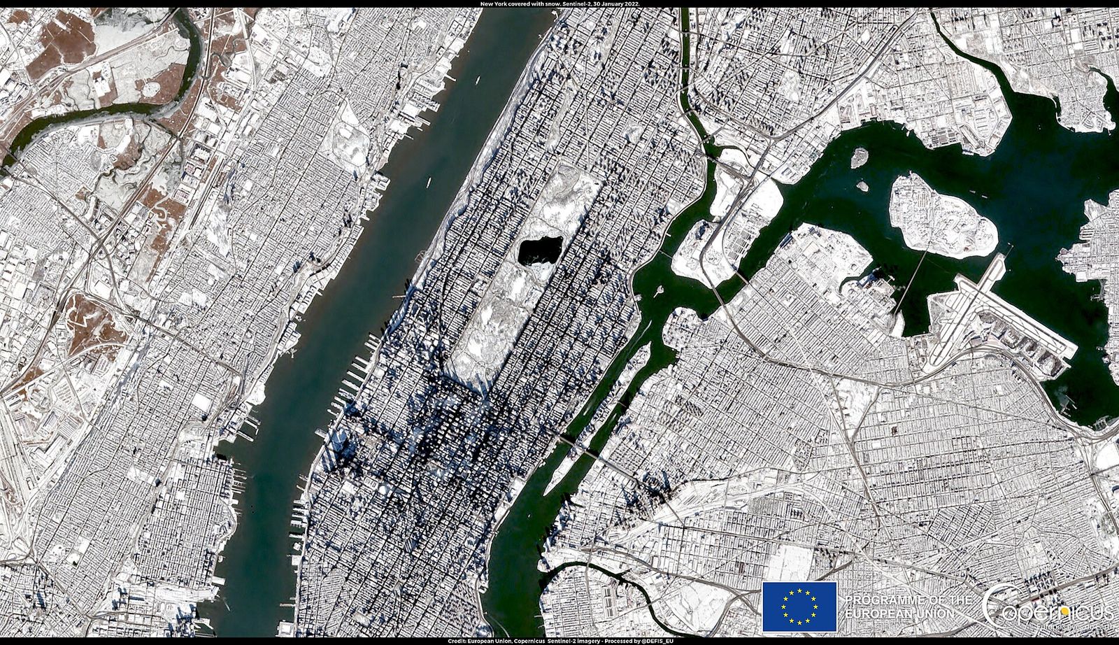
A developing storm system could bring the first snow of the season to parts of the Northeast and Mid-Atlantic late this week, forecasters say, as a surge of cold air sweeps across the eastern United States. The National Weather Service's Weather Prediction Center says there is a chance of at least an inch of snow from Thursday evening through Saturday evening.
A wave of low pressure is expected to organize across the Ohio Valley late Wednesday before tracking toward the Mid-Atlantic and Northeast by late Thursday, then strengthening off the coast on Friday. The system is expected to spread widespread rain across the East, with accumulating snow most likely across the higher elevations of New England and the interior Northeast, including parts of Maine, Vermont, New Hampshire and upstate New York, with snow possibly extending south into the Appalachians. Along the I-95 corridor, where temperatures are expected to stay above freezing, rain is the more likely outcome.
The cold air behind the system will be the bigger story for much of the country. High temperatures could remain in the 30s or 40s across the Northeast, Great Lakes and Ohio Valley, with overnight lows dropping into the 20s. Temperatures are forecast to plunge about 20 degrees from Wednesday to Friday from Chicago to Atlanta, with lows in the 30s reaching as far south as the Florida Panhandle by the weekend. The temperature drop could affect more than 110 million people, and millions could see their first frost and freezes of the season.
Forecasters stress that it is too early for certainty about the storm's exact track, snowfall amounts and coastal winds, and the leading forecast models still disagree. One model slows the low to a crawl, bringing rounds of lake-effect snow across the interior Northeast and rain along the I-95 corridor into early next week, while the other moves the storm offshore more quickly, with rain, wind and snow inland on Friday and Saturday before it pulls away. While the East turns colder and wetter, the West is expected to stay warmer and drier.