A new federal hazards map flags heavy snow and high winds for the West Coast next week, as an atmospheric river targets the Pacific Northwest and Northern California and a second, stronger storm system follows behind it.
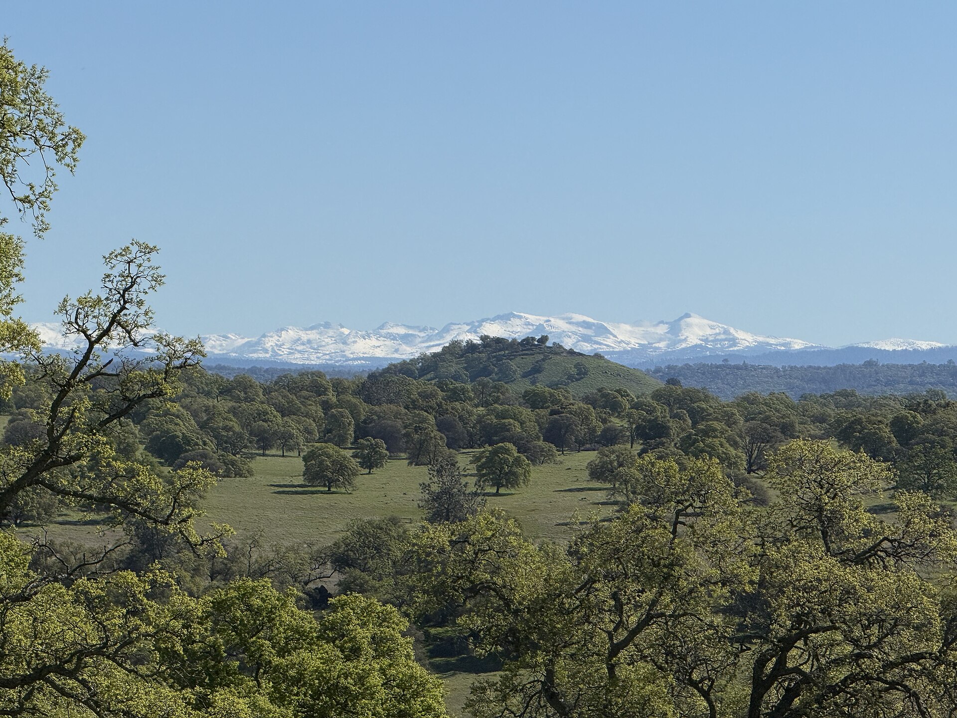
The Climate Prediction Center's latest week-two hazards outlook puts the higher elevations of the Klamath Mountains and the Sierra Nevada under a moderate risk — a 40 to 60 percent chance — of heavy snow from Friday, November 13, through Sunday, November 15. The heavy snow zone covers Interstate 80 over Donner Summit and U.S. 50 over Echo Summit, and heavy precipitation extends beyond the snow zone into Washington, Oregon and California.
The coasts of all three states also carry a moderate risk of high winds from November 13 to 15, and a slight risk of heavy high-elevation snow extends through November 17 for the Cascades, parts of the northern Intermountain West and Great Basin, and the Central and Northern Rockies.
The Washington Cascades face the highest snow risk first: the center identifies a high risk, greater than 60 percent, of heavy snowfall across the range between November 10 and 12, with a high risk of heavy precipitation from northern California through the Pacific Northwest in the same window. Lower elevations could see flooding, particularly in areas that have recently dealt with significant rainfall.
Very early modelling suggests the November 13 to 17 period could bring 3 to 6 feet of snow to the Sierras and 2 to 4 feet to the Cascades and parts of the Rockies in Idaho and Wyoming, a prospect that would make travel hazardous through the weekend of November 14 and 15. The center's forecaster Thomas Collow noted the chances of three-day snow totals topping six inches have declined since the November 4 outlook, and the snow risk is limited to high elevations and could be lowered in the next update.
The longer-range outlook is complicated by the possibility of an unusually early disruption of the polar vortex. In its updated November outlook, the center calls a November sudden stratospheric warming very rare and says its effects can show up for up to two months.