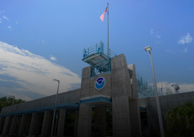
As Tropical Storm Helene gets closer to the Yucatán Peninsula in Mexico and the Gulf Coast of Florida, it becomes more dangerous for both areas. Helene may strengthen into a category three hurricane in the next several days, the U.S. National Hurricane Center (NHC) has warned.
Tropical Storm Helene Approaches Mexico’s Coast
Currently, Helene is just off the Yucatán Peninsula, with maximum sustained winds of 70 mph (110 km/h). It is expected to pass near Cancún and Cozumel, where red flags have already been raised, warning swimmers to avoid the water. Businesses in the area are bracing for torrential rain and gales, while fishermen have brought their boats ashore for security.

Florida on High Alert
Helene is expected to reach Florida late Thursday. In response, Florida Governor Ron DeSantis has declared a state of emergency for most counties. The Big Bend region, which was recently devastated by Hurricanes Idalia and Debby, is predicted to experience landfall from the storm. Residents are being urged to get ready for possible flooding, power outages, and wind damage as authorities have issued evacuation orders.
Heavy Rain and Flooding Risk
It is predicted that Helene would dump five to ten inches (12.7–25.4 cm) of rain over Florida and parts of the Southeast. There’s a flood watch in place from Florida to the southern Appalachians. It is anticipated that there will be significant rains and possible flooding in Western Cuba and the Cayman Islands.
With Helene rapidly intensifying, both Mexico and Florida are taking emergency precautions to mitigate the storm’s potential damage. Residents are being urged to stay informed and follow official evacuation and safety orders.
For more latest news checkout our website: latestglobalinsight


