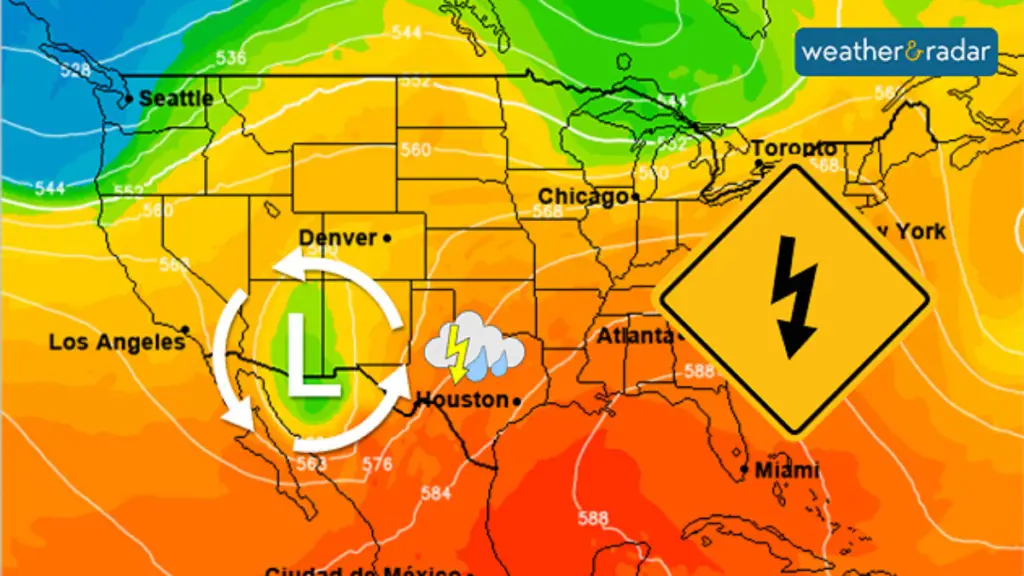
A powerful storm system brought severe thunderstorms and tornadoes to central Oklahoma on Monday, prompting multiple warnings and watches. KOCO 5’s First Alert Weather Team tracked the tornado threat, providing live updates and critical information to viewers.

Tornado Warnings and Severe Storms
Multiple tornadoes were confirmed Monday morning, with warnings issued for several counties, including Blaine, Caddo, Canadian, Comanche, Garfield, Grady, Kingfisher, and Major. The National Weather Service warned of 70 mph winds and potential tornadoes.

School Closures and Delays
Several Oklahoma school districts delayed classes or shifted to virtual learning due to the severe weather threat. Oklahoma City Public Schools announced a virtual learning day.
Storm Timeline
– 2 a.m. – 7 a.m.: Storms expected in southwestern and western Oklahoma
– 6 a.m. – 11 a.m.: Storms move into west-central and central Oklahoma, including the OKC metro
– 8 a.m. – 9 a.m.: Main line of storms along the I-35 corridor
– 10 a.m.: Storms move into eastern Oklahoma
Risk Levels
– Midnight – 6 a.m.: Enhanced risk (level three) in southwestern Oklahoma; slight risk (level two) in OKC metro; marginal risk (level one) in surrounding areas
– 6 a.m. – 3 p.m.: Slight risk in southwestern, south-central, and central Oklahoma; marginal risk in other areas
Flood Watch
A flood watch remained in effect for most of Oklahoma, including the OKC metro, through Monday afternoon. Widespread rain could bring 2-3 inches.
Stay Informed
Residents were advised to stay tuned to local news and weather reports for updates and follow evacuation instructions from authorities.
The First Alert Weather Team provided continuous coverage, ensuring viewers stayed informed and safe throughout the severe weather event.


